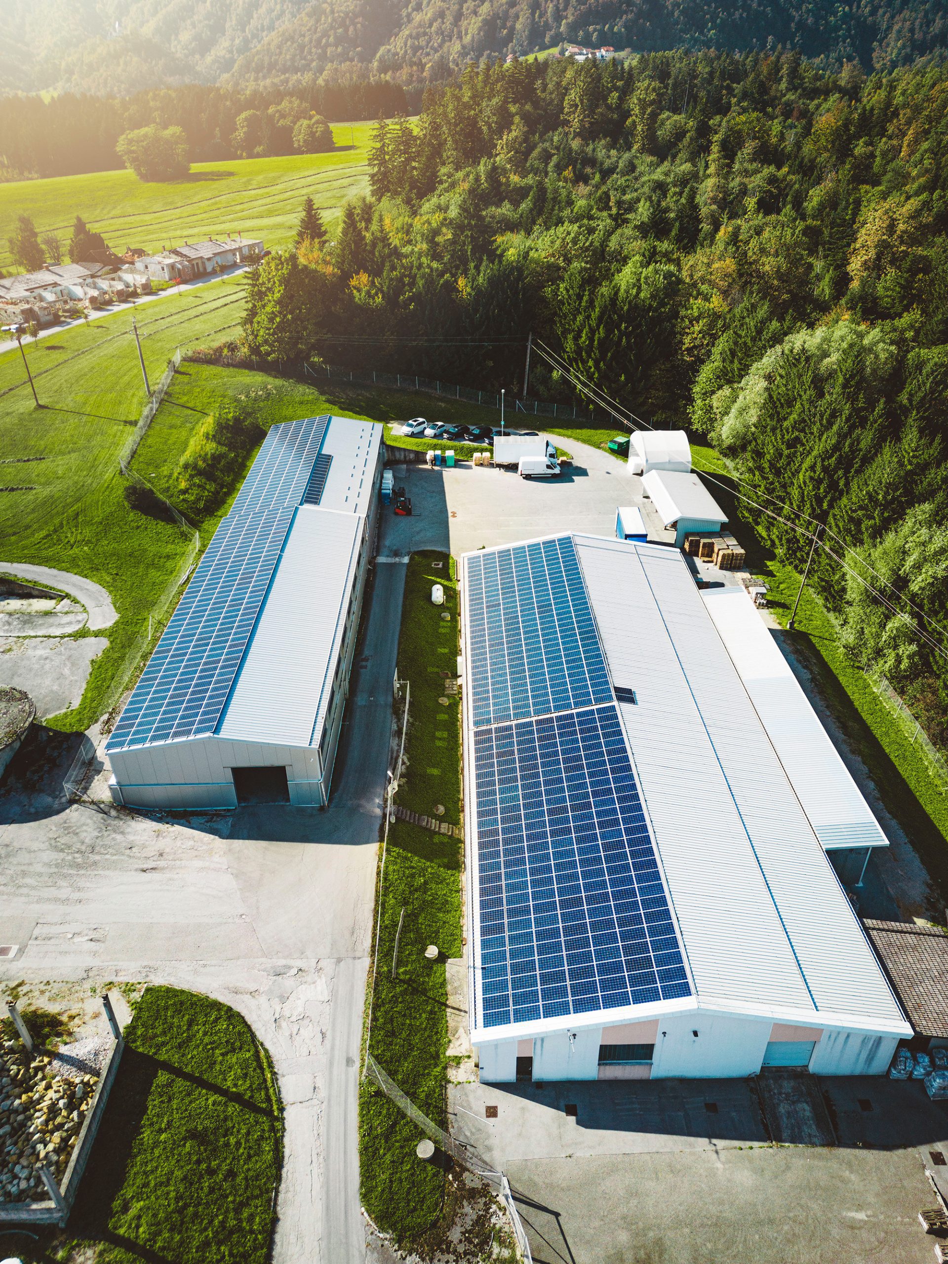
The inexhaustible energy resource requires constant inspection and maintenance. Hence, timely detection and replacement of faulty panels are crucial to maintain power load and smooth operations.
At AusDilaps, using FLIR VUE camera technology on our UAV to inspect solar panels, often spanning immense solar fields. Regardless of your operation scale, AusDilaps specialises in inspecting and producing detailed reports.
We aim to provide an in-depth evaluation of solar modules and anomaly detection, which is critical to the smooth flow of the system. Expansive solar arrays can be easily, quickly, and economically inspected through thermo-diagnostic measurements by a drone-mounted camera.
AusDilaps uses the FLIR VUE infrared system for a complete visible spectrum of a panel. The camera uses thermal imaging and temperature readings that can rapidly inspect a large area of any power plant. The imagery produced by the thermal camera can detect heat leakage and provide an accurate thermal reading from any panel or circuitry to enable the client to identify and quickly remedy the issue, saving time and money.
Once updated, the records and images are analysed through AusDilaps (in-house) software packages, and reports can be produced by our team of engineers to offer the best maintenance and repair solutions for the operation.


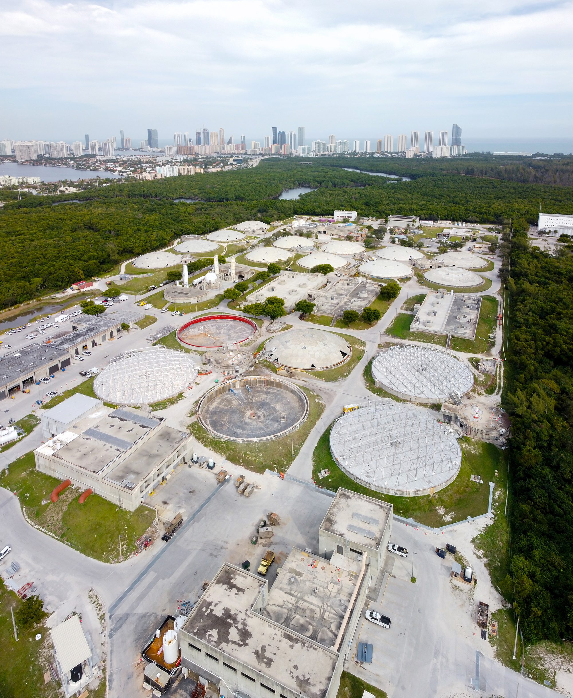
Drone technology has revolutionised building and infrastructure inspections. No matter how high or how vast, AusDilaps is there to help you with a comprehensive inspection and provide you with precision data and imagery that you can rely on to make informed decisions about your infrastructure.
Using 3D orthomosaic modelling clients can look at their infrastructure from any angle.
Our aerial systems are capable of close visual inspections of building roofs and facades to assist in the fast detection of defects such as damaged tiles, brickwork, facade cracks and window lintel issues. Thermal cameras can also be used to detect leaks in buildings or houses. Geo-referenced images allow for easy reference to the defect area. 3D modelling can also be created to provide incredibly detailed context to the asset and its condition.
We offer our clients cost-effective and high quality data and imagery for analysis that reduces the risk of working at heights.
AusDilaps drone surveying services offer tremendous cost savings compared to standard manual methods of surveys on all types of residential, commercial, industrial, and historic buildings. We can achieve high precision accuracy as well as reduced costs due to less time needed on-site – surveys completed in a few hours. Moreover, there is no need to hire access equipment or scaffolding.
Roofs completely inaccessible by traditional methods, fragile roofs, or those containing ageing asbestos materials are best left to us at AusDilaps drone inspection service.
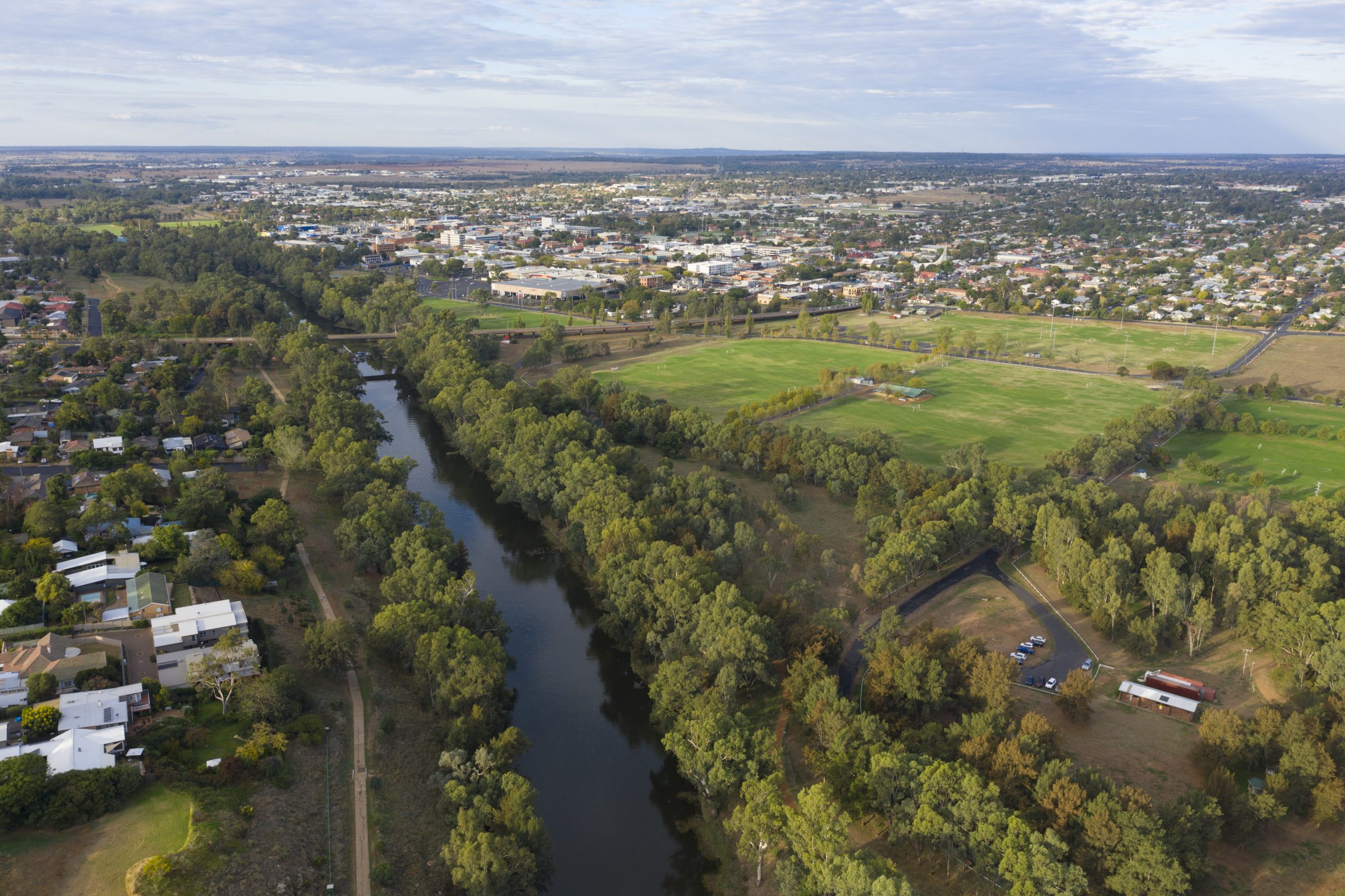
AusDilaps operates the most sophisticated and advanced technology to provide detailed photographic data on waterways and dams. Our professional-grade, latest-technology UAV, operated by fully certified and experienced pilots ensure you receive the most comprehensive, precise and informative data needed for environmental mapping.
We provide the best solutions tailored to our client’s requirements to ensure the best results. Our environmental mapping surveys are customised to suit any requirements.
UAVs offer safer and more cost-efficient mapping or monitoring of large areas. Our range of monitoring and mapping services includes measuring changes in water levels or erosion over time using point cloud orthomosaic mapping and generating millimetre-accurate topographic measurements of the surrounding terrain.
AusDilaps can provide detailed reports for environmentally sensitive areas amidst thick scrub, gorges, wetlands, and ridges using Multispectral cameras. Our detailed reports provide accurate data that can be obtained without disturbing sensitive areas.
